

GIS SUPPORT FOR TRANSPORTATION
Traffic Engineering, Parking Audits, and Heavy Civil Design
Spatial Decision Making
What do freeways, roads, parking spaces, and traffic signals all have in common–other than forming our transportation networks? They exist over large geographies, and have inherent spatial relationships. These geospatial relationships must be analyzed, whether you're working on a freeway expansion project, or you're developing a smart city parking solution in a dense urban environment.
Read about some of our transportation projects below
As-Needed Traffic Engineering Support
For the City of San Diego
Evari GIS Consulting is providing traffic engineering support to the Planning Department at the City of San Diego. Evari supports Prime Contractor, Kimley Horn, with Public Outreach Strategy and Participation, Process Mapping and Analyses Methodologies, Research and Data Collection, Existing Conditions and Mobility Assessment, Preliminary Circulation Element Concepts, Circulation Element Alternatives, Future Conditions Analysis, and finally Community Plan Circulation Element Amendments. The overall budget for this project is $1.05MM, and the project is on schedule and on budget.
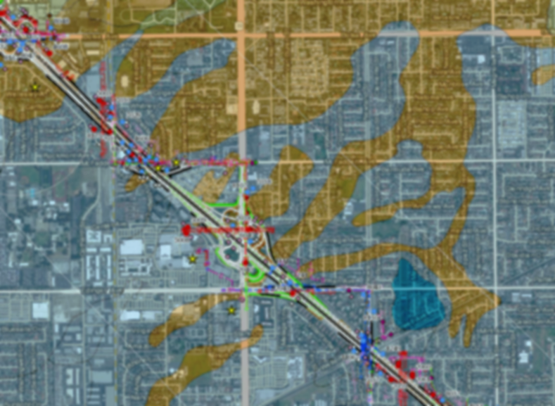
I-405 Improvement Project
Evari provided ongoing GIS support during the RFP response process for the I-405 Improvement Project from SR-73 to I-605, a $1.9 Billion project. Evari developed a GIS application that allowed the I-405 Improvement Team to work through hypothetical scenarios and immediately determine the effects that changes would have on particular areas. In February, 2017 the team was awarded the I-405 Improvement Contract. Read a case study about Evari's involvement with the I-405 Improvement Project from SR-73 to I-605 here.
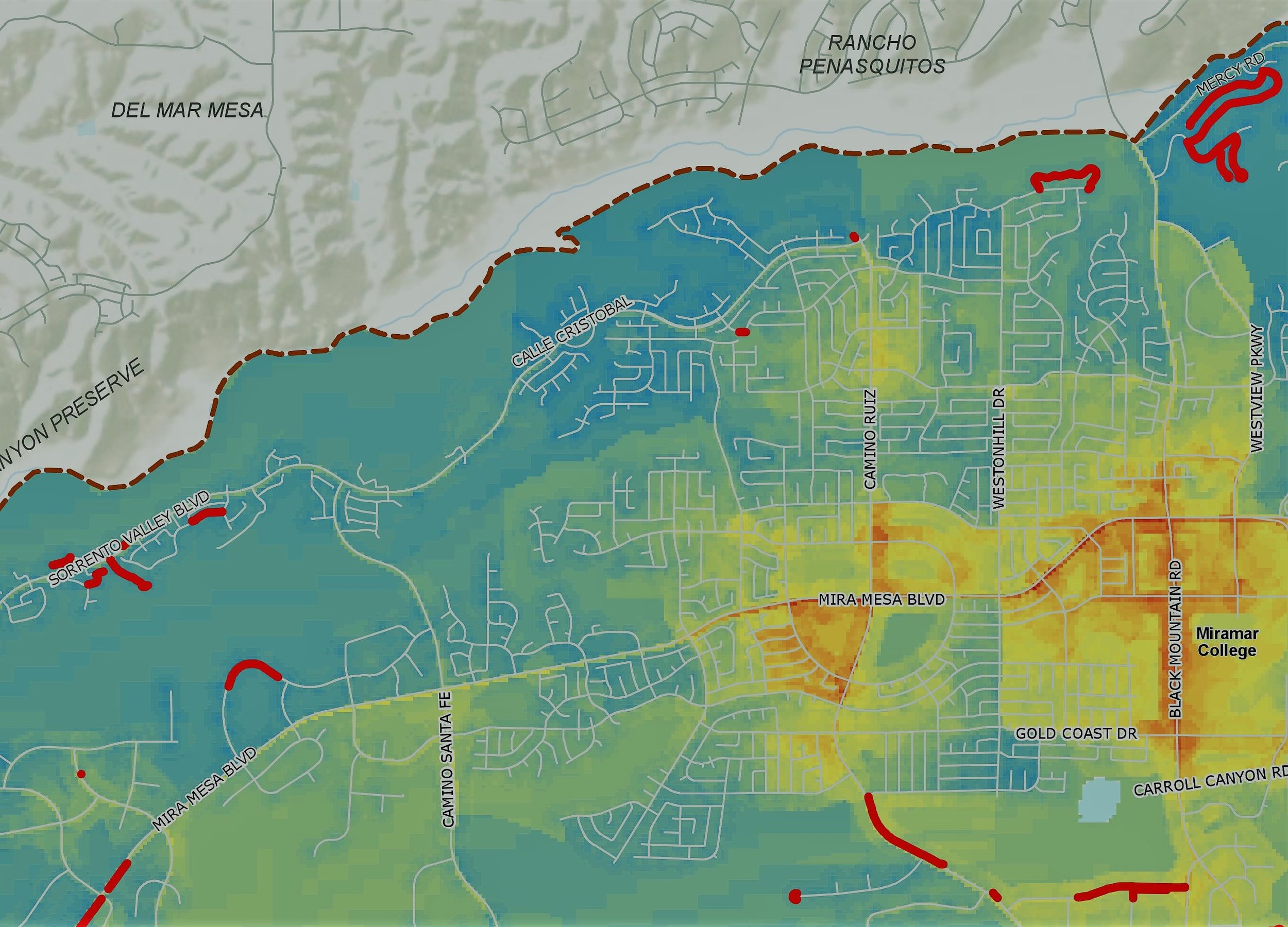
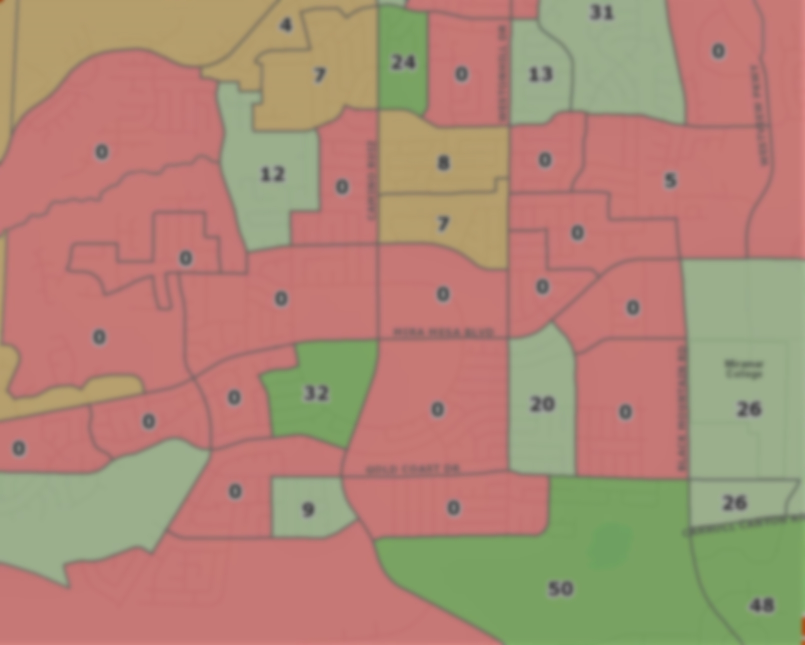
San Diego Parking Study
Evari is working to classify the City of San Diego's curbside parking with sub-foot accuracy. Using GPS devices to draw polygons with high accuracy, Evari is collecting curb classification data (ie. 30-minute parking, 2-hour parking, etc.) that may be used in conjunction with the City’s new City IQ Nodes, which are IoT sensors to be installed on street lighting infrastructure. Evari also supported the deployment of said Intelligent Nodes, ensuring optimal distribution dependent on a series of factors including pedestrian safety, traffic, parking enforcement, and crime.
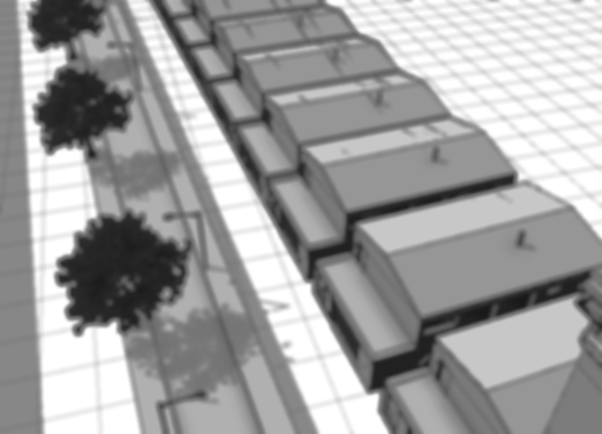
3D Viewshed Analysis
Evari is working with SanDag on an Intelligent Transportation Systems contract to create a 3D visual simulation of mobility hub improvements for the Oceanside Transit Center, a prototype site identified in the Regional Mobility Hub Implementation Strategy. The 3D visual simulation will consist of up to eight views of the immediate transit station area and other points within the five-minute walk, bike, and drive access sheds. Evari is providing GIS data development and analysis services in order to inform the data needs for the visualization development for the mobility hubs. Using Google Earth and Google Street View to estimate building heights and confirm building footprint accuracy, Evari imports footprint data into Esri CityEngine software, and hands it off in a variety of desired formats to contribute to the digital visualization development.